ULAANBAATAR - GENERAL INFORMATION
| CONTENT |
DATA |
DESCRIPTION |
| Number of districts | 9 | total |
| Number of khoroos (subdistricts) | 144 | total |
| Population | 2 811.6 thous. | by 2011 |
| Territory | 4,704.4 | km² |
| Time Zone | GMT+ 8 | Add 8 hours to Greenwich Mean Time |
| Area code | +976 - 11 (21, 51) | 976 - country code |
| Vehicle registration code | (УБ), (УН) 00-00 (sample) | "УБ", "УН" stands for Ulaanbaatar |
BRIEF HISTORY OF ULAANBAATAR CITY
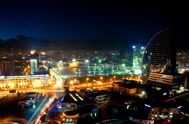
Ulaanbaatar, the capital city of Mongolia, is located in the Tuul river valley elevated at 1,300m above the sea level. According to 2011 statistical data, the population of the city was counted at 1,896.000 people which accounts for over 50% of the total Mongolian population. Ulaanbaatar is the cultural, political, and financial heart of the country.
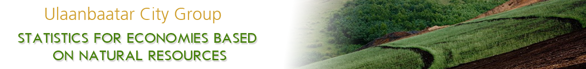
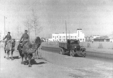
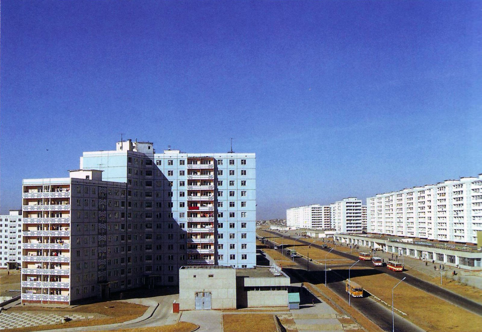
In 1778, the city was named as Ikh Khuree. By the revolutionary movement of 1911, Bogd Jebtsundamba the 8th was honored as Mongolian Ruler and renamed Ikh Khuree as Niislel Khuree. Niislel Khuree became the heart of the country’s economy, politics and religion with branches of Russian, Chinese and American companies. In 1924, People’s Republic of Mongolia was officially declared and the Niislel Khuree was renamed as the city of Ulaanbaatar. The name Ulaanbaatar means "Red Hero". After the World War II, under the socialism with the help of Soviet Russia, old-styled districts were replaced into new districts with apartments and new buildings. The railway connecting Ulaanbaatar with Moscow and Beijing was built in 1956 and many apartment buildings, cinemas, theatres and museums were built around the same time.
According to the new Constitution of Mongolia which was adopted in 1992, it states the “Ulaanbaatar is the capital city of Mongolia” and the capital has its official flag and symbol.
GEOGRAPHY
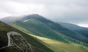
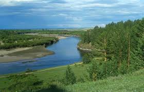
Ulaanbaatar city is located on the shore of Tuul River, surrounded with 4 mountains of Bogdkhaan, Bayanzurkh, Songino Khairkhan and Chingeltei Khairkhan Mountains.
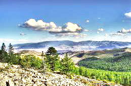
The 1,845m elevated Tsogtchandmani Mountain, located on the eastern edge of the Ulaanbaatar city and the southwestern edge of the Khentii mountain ranges, is a dividing point of the Arctic, Pacific and the Central Asian Endorheic drainage basins. Therefore, it is not only Mongolian, but also world’s important drainage basin dividing point. Nalaikh district is rich with coal deposits, Arjanchivlin is rich with gold and lead deposits, Selbe River is rich with gold and iron deposits. In Elest river sand, and in different areas mud is plentiful.
METEOROLOGY
Ulaanbaatar city has a monsoon-influenced, cold semi-arid climate that closely borders a subarctic climate therefore the weather is severely harsh with a long, bitterly cold and dry winters with the minimum temperature of -49 degrees Celsius. The city features brief, warm summers with the maximum temperature of 39°C, deviance is 88°C. Thus the city is the coldest capital city in the world.
The annual average air temperature is -3°C. The coldest month of the year is January with the average temperature of -26°C and the number of days with below -30°C degrees can be counted about 40. The city lies under the snow cover for about 130 days between November 10th and March 20th with about 18cm depth on average. Ulaanbaatar city is one of the capital cities in the world with the most number of clear sunny days in any given year, with 250 sunny days.
In Ulaanbaatar city, warm season lasts for 90 days from May 29th to September 1st, with above 0°C temperatures. The warmest month is July with the average temperature of 17°C. In summer the number of the days with +30°C or above temperature are about 10 and the days with the temperature of +10°C are about 80 which are usually occurs between June 6th and August 25th. The whole Ulaanbaatar city area lies in the Arctic Ocean basin.
SOIL
The city lies in the zone of discontinuous permafrost. The northern part of the city has a dense forest taiga soil with discontinuous permafrost; powdery carbonated dark soil covers the northern mountains, and swamp soil with permafrost is spread along the Tuul river valley. Dominant type of soil in Bogdkhaan mountain is a taiga soil. The meadow forest permafrost soil is spread through the higher parts of the mountain. Sediment rocks that come up on the surface along the edges of the mountain tops are well spread along in the range.
TRANSPORT
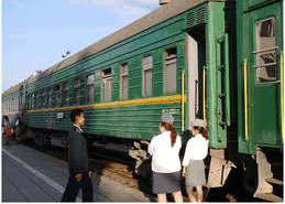
Inter-urban and international: Ulaanbaatar is served by the Chinggis Khaan International airport located 18km south of the city. The railroad is connected to the Trans-Siberian railway via Naushki and to the Chinese railway system via Ereen (Erlian).
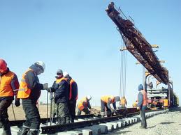
Domestic and interurban: Ulaanbaatar is connected to most of the cities of Mongolia with unpaved roads. The project called Myangany Zam or Millennium Road is being implemented, and within 20 years of period all the roads in Mongolia will be paved.
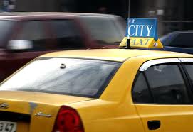
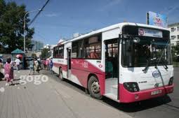
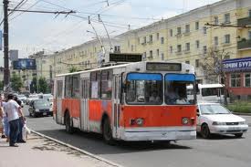
Intra-urban: Metropolitan Public Transportation Department is in charge of all public transportations within the city, offering different types of transportation services like primary, supporting, express, and taxi. Buses, trolleybuses and minivans in numerious routes along with the taxis are in service.
One of the urgent problems facing the city transportation is the traffic jam as the numbers of automobiles on roads are considerably increasing in recent years. Therefore, the idea of building a metro line in Ulaanbaatar is taking into a consideration.
ATTRACTIONS
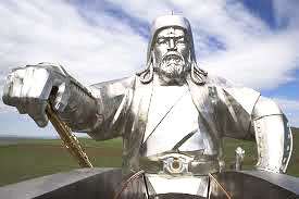
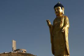
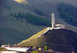
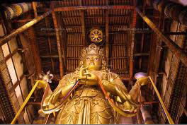
Ulaanbaatar city has numerous museums with world famous valuable exhibits and Buddhist heritage sights. In Ulaanbaatar there are 14 historical and cultural sites that are listed under the State Protection including Gandantegchinlen Monastery, Megjid Janraisig Statue, Bogd’s Winter Palace, Ger Shaped small temples, Dari Ekh Temple’s two stone columns, Geser temple, Choijin Lama Temple dedicated to the brother of the Bogd Khaan, Dambadarjaa Monastery, petroglyphs at Ikh Tenger and Gachuurt mountains, numerious tombs in Songino Khairkhan mountain, Chin Van Khanddorj’s house.
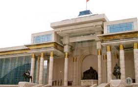
Located at the heart of Ulaanbaatar, the Sukhbaatar's Square is one of the famous tourist attractions. Just like Red Square of Moscow or Tiananmen Square of Beijing, the big events like parade during the big holidays organized at the Sukhbaatar's Square.
ADMINISTRATION
Ulaanbaatar city is governed by the Citizen’s Representative Khural with four years in term. It has 45 delegates and 6 chiefs. The Governor of Capital city is nominated from the Khural and the Prime Minister of Mongolia appoints the Mayor of the city for four years in term. Mayor reports his work progress to Citizen’s Representative Khural. Ulaanbaatar was divided into administrative divisions in 1924, for the first time. New constitution was adopted in 1992, thus new “Administrative and Territorial Units of Mongolia and Their Governing Bodies Law” was also adopted and according to its 18th order of August 19, 1992. Ulaanbaatar City is divided into 9 districts: Bayangol, Bayanzurkh, Chingeltei, Sukhbaatar, Songinokhairkhan, Khan-Uul, Nalaikh, Bagakhangai and Baganuur. Districts are divided into Khoroos, the smallest unit of administrative division of Ulaanbaatar. There are total of 144 khoroos in the city as of 2011. Nalaikh, Baganuur and Bagakhangai districts are located outside of Ulaanbaatar City boundaries.
The Implementing Agencies of the Governor's Office of Ulaanbaatar city:
1. Auto Road 2. Air Quality 3. Archive 4. Tourism 5. Environmental 6. Education 7. Construction, Urban Development and Planning Agency 8. Sports 9. Land 10. Specialized Inspection 11. Veterinary 12. Information Technology 13. Social Insurance 14. Registration 15. Transportation 16. Social Service 17. Emergency Management 18. Property Liaison 19. Culture 20. Statistics 21. Health 22. Children’s Right 23. Welfare 24. Agriculture 25. Labor 26. Investment 27. Tax 28. Police 29. Court Decision Enforcement 30. Court Examination.
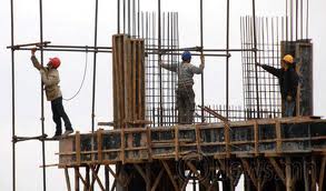
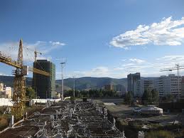
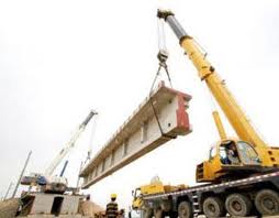
CONSTRUCTION
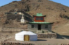
Each country in the world has its own architectural style. Mongolian traditional dwelling Ger represents the unique architectural design. Mongolians have been using Ger for thousands of years but not only because it is easier to move around. Our ancestors invented it with a great deal of accuracy and sophistication. Ger is considered to be the most suitable type of dwelling for nomadic life style. Ger is compact, light, durable and easy to move around. Therefore the materials that are used to make a Ger are all of an easy access like wood and felt. Ger consist of 2 elements, cone the roof and cross cones the round wall. This shape of a Ger plays an important role in its construction as the roof absorbs the energy from the sun and transfers it into the Ger and the round walls reduce the force of a wind blow and keeping the Ger warm. This type of construction design also can be seen in the construction of temples and monasteries.
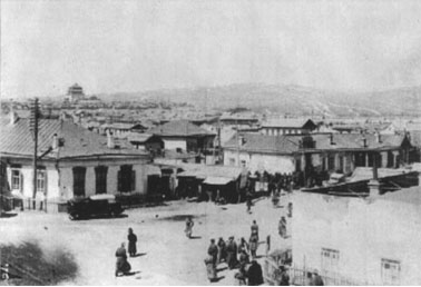
At the present, Ulaanbaatar city’s buildings have a reflection of all kinds of architectural designs from different countries like China, Russia, Korean and Southeast Asia.